Iqaluit – 2017
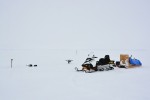
- Shot of equipment used to setup the field site near Iqaluit, seen with heavy fog (A.Garbo)
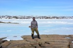
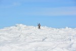
- Martin St-Amant posing at the site where the TopCon DGPS was located, near Iqaluit, NU. (A.Garbo)
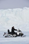
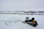
- A shot of Adam Garbo on snowmobile with high ice walls produced by low tides (M.St-Amant).
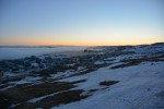
- An evening shot of the town of Iqaluit as fog begins to roll. (A.Garbo)
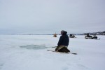
- Our guide, Ted Irniq, patiently waiting for a group of seals to resurface while out on Frobisher Bay, NU. (A.Garbo)
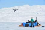
- Adam Garbo flying the DJI S800 UAV in Iqaluit (M. St-Amant)
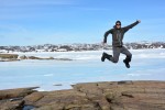
- Adam Garbo jumping with joy at having good weather and no issues operating the UAV at the field site near Iqaluit! (M.St-Amant)
- First UAV flight test by Adam at the ice ridge field site near Iqaluit (M.St-Amant)
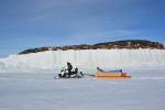
- Martin St-Amant towing the qamutik with the high ice walls produced by low tides in the background. (A.Garbo)
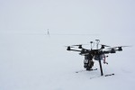
- DJI S800 and Emlid Reach basestation waiting for the fog to lift in near Iqaluit (A.Garbo)
- Visiting the area where a polynya was present in Frobisher Bay, NU. (A.Garbo)
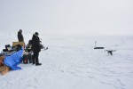
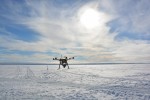
- The DJI S800 in the process of landing after having successfully conducting an aerial survey. (A.Garbo)
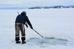
- Our guide, Ted Irniq, moving the ice above a seal breathing hole, so as to obscure their vision when resurfacing. Location: Frobisher Bay. (A.Garbo)
- Martin surveying in points along the rising ice at low tide in Iqaluit, NU. (A.Garbo)

